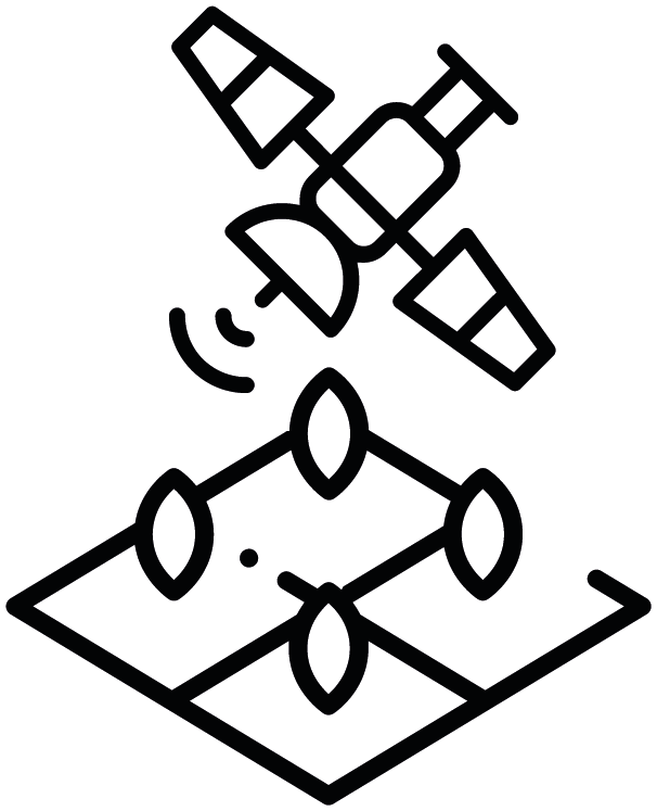
Our cutting-edge technologies, like AI, Machine Learning, and Satellite Imagery, allow us to gain actionable insights into the territory. Our multitenant SaaS B2B mapping platform offers seamless integration with your existing systems and tools.
Platform Spatial.Ag
With our platform, you can access a wide range of features:
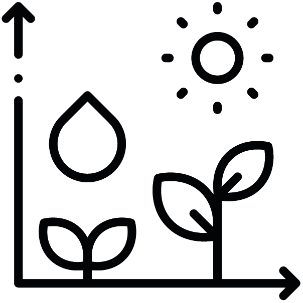
Real-time monitoring of crops and crop health
Carbon footprint tracking and management
Precision agriculture Risk analysis and management
Supply chain optimization
And much more.
Spatial ID
Crop Identification and Localization of Rural Assets
Classification of earth’s surface such as type of culture, bodies of water, vegetation and built areas
Spatial Detect
Change Detection
Detect land use changes and inconsistencies
Spatial Trace
Value Chain Traceability
Spatial Predict
Prediction of Land Productivity
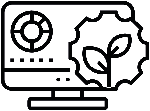
Spatial BI
Rural Business Intelligence
Technology tools based on the integration of Artificial Intelligence, Satellite Images and Geospatial Information of millions of rural properties.
From construction to agribusiness, Spatial.Ag transforms data into insights that improve performance, compliance, and growth.